United States Maps
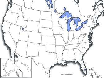
United States - Coastline Map
United States coastline only map.
United States - States Outlined
The states are oulined in this map.
United States - Capitals Starred
Stars are placed on each capital city.
United States - Labeled Capitals
This map labels the capital cities in the U.S.
United States - Numbered States
This map can be used for tests or quizing yourself. Each state has a number.
 Our maps require the use of Adobe Acrobat Reader. Most computer systems already have this progam.
If you do not have it you can download it free by clicking the icon to the left.